![]() Pinetop-Lakeside, AZ (2/5/2026) – The Arizona Department of Forestry and Fire Management continues to take advantage of favorable weather conditions to conduct a prescribed burn project in Navajo County starting on Tuesday, February 10.
Pinetop-Lakeside, AZ (2/5/2026) – The Arizona Department of Forestry and Fire Management continues to take advantage of favorable weather conditions to conduct a prescribed burn project in Navajo County starting on Tuesday, February 10.
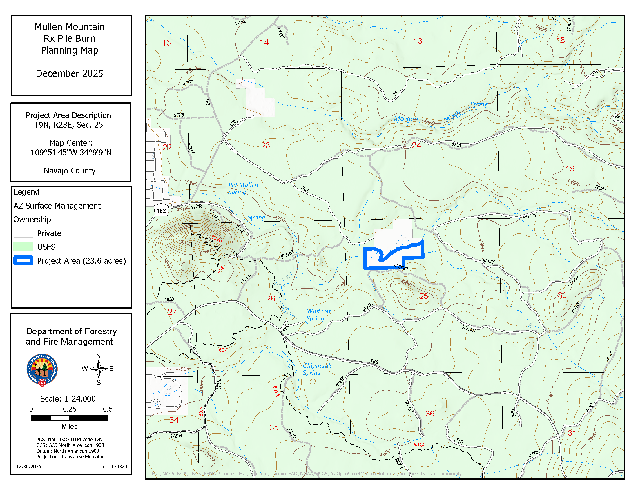
The 54-acre Mullen Mountain pile burn, located approximately 4 miles east of Pinetop-Lakeside and near State Route 260, will treat more than 200 mixed Conifer and Juniper piles generated from previous fuels reduction work in the area. Project managers designed the project to reduce hazardous fuels to lower the wildfire risk to nearby communities, reintroduce nutrients to the soil, and improve forest health. Pile burning is a more efficient way to reduce the leftover debris, and through hand ignitions, project managers expect 80-90% pile consumption.
The project should take two days to complete with firing operations starting the morning of February 10. Residents within the vicinity of the project work may experience some smoke impacts, but favorable winds are expected to lift and disperse the smoke, reducing heavy smoke impacts to populated areas and roads. Overnight, smoke may settle into the lower areas.
All burns are weather dependent and must have approval by the Arizona Department of Environmental Quality (ADEQ) prior to work starting. DFFM works closely with ADEQ to provide for safe burning conditions and minimal smoke impacts
to the public.
For more information, contact Tiffany Davila at 602-540-1036 or by email at tdavila@dffm.az.gov
Follow us on Facebook – https://www.facebook.com/arizonaforestry
Follow us on X (formerly Twitter) – https://x.com/azstateforestry
Download our mobile phone application – https://www.apexmobile.net/app/azdffm/
###