Red Flag Warning in effect Today and Tomorrow for the southern portion of the Clifton Ranger District

U.S. Forest Service
Apache-Sitgreaves National Forests
30 S Chiricahua Drive
Springerville, AZ 85938
Web: www.fs.usda.gov/asnf
Twitter: @A_SNFs
www.facebook.com/apachesitgreavesnfs

News Release
Media Contact: Liza Simmons
928-333-6280
lizaasimmons@fs.fed.us

Red Flag Warning in effect for the southern portion of the Clifton Ranger District

Springerville, AZ—April 27, 2017—The National Weather Service has issued a RED FLAG WARNING for April 27 and April 28 for much of Southern Arizona including portions of the Apache-Sitgreaves National Forests due to strong winds, low relative humidity and very high fire danger. This Red Flag Warning is in effect today, April 27 from 12:00 p.m. to 7:00 p.m. MST and tomorrow April 28 from 10 a.m. to 8 p.m. MST in southeast fire weather zone 152 including eastern Cochise, southeast Graham and southern Greenlee Counties.
On a RED FLAG DAY, the following restrictions go into effect on the Apache-Sitgreaves National Forests during the advisory hours:
1. Building, maintaining, or attending a fire or campfire. *Propane heating and cooking devices are permissible.
2. Smoking outside a vehicle or a building.
3. Vehicle use off roads or trails.
4. Driving a vehicle without an approved spark arresting device.
5. Operating an internal combustion engine (unless the equipment has an approved spark arresting device AND is in an area completely devoid of vegetation) i.e. chainsaws, generators, hot saws, skidders, and other recreational or industrial equipment.
6. Welding, or operating an acetylene or other torch with an open flame.
The National Weather Service predicts that very windy conditions are expected to continue over the next several days. A wind advisory remains in effect from 10:00 a.m. this morning to 7:00 p.m. MST this evening for much of Eastern Arizona. West winds are expected to be 25 to 35 MPH with gusts to around 50 MPH. Visitors to the forests should use extreme caution.
It is common for the Southwest Area (Arizona and New Mexico) to receive high winds in the spring. These high winds coupled with low relative humidity and a high fire danger rating mean that fires ignited under these conditions, even accidentally, would exhibit EXTREME fire behavior. Limit or restrict all activities that may generate a spark and start a fire.
For detailed weather information including warnings issued by the National Weather Service, visit http://www.weather.gov/.
Be vigilant, it’s your responsibility to know before you go. Check current fire information and restrictions at www.wildlandfire.AZ.gov or at www.firerestrictions.us.

Wind Advisory Today

4/27/17 7:30 am – The National Weather Service has issued a Wind Advisory for northeast Arizona for today. Strong and gusty southwest winds will develop today and continue through early this evening from the White Mountains and Little Colorado River valley to the Chuska Mountains. A Wind Advisory is in effect from 10:00 am to 7:00 pm.

Tomorrow (Friday) a cold front will bring a chance of showers and a few thunderstorms with breezy west to northwest wind continuing.

Smoke from Coconino Prescribed Burn

4/26/16 4:24 pm
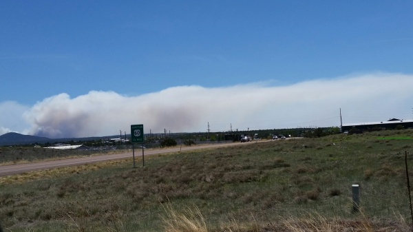
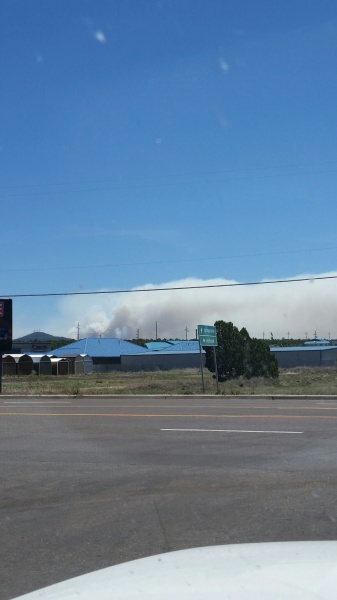
Winds are pushing residual smoke from the 1,250 acre prescribed burn on the Coconino National Forest outside of Flagstaff into the Snowflake, Taylor, Show Low, Overgaard and surrounding communities. Persons with respiratory conditions should keep windows and doors closed.

Information from the Coconino National Forest Website – Upper Beaver Creek Project (Buck Mountain areas)
When: Planned ignition are Monday through Thursday (April 24 to 27). Ignitions typically begin between 9-10 a.m. and duration of this project will be approximately four days.
Where: Approximately 19 miles directly east of Montezuma’s Castle National Monument and ranging north and south approximately three miles west of Buck Mountain Lookout.
Size: 3,500 acres in total, broken into manageable blocks each day.
Closures/Restrictions: None.
Smoke Impacts: Smoke is predicted to move toward the east/northeast and may impact Mormon Lake communities to the north, and the Discovery Channel Telescope to the east. Smoke may be seen from Lake Mary Road and I-17. Cooling temperatures in the evenings may cause smoke to settle and drain down nearby canyons, West Clear Creek, the Verde Valley and potentially impacting the Village of Oak Creek.