***UPDATE*** SR 260 is open to all traffic.
6/11/17 8:20-
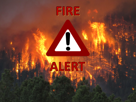
SR 260 is currently closed due to a serious accident in front of Hon-dah Casino. Please avoid the area if at all possible.

***UPDATE*** SR 260 is open to all traffic.
6/11/17 8:20-
SR 260 is currently closed due to a serious accident in front of Hon-dah Casino. Please avoid the area if at all possible.
Incident Email: SlimFire2017@gmail.com
Inciweb: https://inciweb.nwcg.gov/incident/5206/
Facebook: https://www.facebook.com/apachesitgreavesnfs
Twitter: @A_SNFs
Location: Black Mesa Ranger District of the Apache-Sitgreaves National Forests
Coconino County, Arizona 16-miles west of Heber, AZ and four miles north of Forest Lakes
Start Date: June 02, 2017 Percent contained: 70%
Size: Approximately 3,241 acres Personnel Assigned: 291
Cause: Lightning
Summary:
Fire crews will continue their efforts for full containment of the Slim Fire. Activities range from suppression of any hot spots, mop-up, and rehabilitation of fire lines. A large number of snags in the fire area need to be assessed for any necessary treatment, especially along roads or trails.
The Slim Fire on the Apache-Sitgreaves National Forest has created several safety issues, including snags in the area around the Forest Lakes Community. These hazards along Forest Service roads and trails have required the Forest Service to close several roads and trails while safety issues are mitigated. These roads and trail are: FR237 north of junction FR172, FR170G, FR172, FR99i, FR99A, trail number 237C, and other areas in close proximity to the fire.
Visitors should drive cautiously and be alert for heavy fire equipment along with increased weekend traffic.
Structures Threatened: None
Resources Assigned: four Type 1 Interagency Hot Shot crews, three Type 2 Hand Crews, one Type 1 Helicopters, one Type 2 Helicopters, one Type 3 Helicopter, one air attack aircraft, one Type 3 Engines, five Type 6 Engines, one dozers, three water tenders, and miscellaneous overhead,.
 Location: Black Mesa Ranger District of the Apache-Sitgreaves National Forests Coconino County, Arizona 16 miles west of Heber, AZ and 4 miles north of Forest Lakes
Start Date: June 01, 2017
Size: Approximately 3282 acres
Cause: Lightning.
Containment: 50%
Assigned Personnel: 291
Summary: Fire crews will patrol and hold burnouts along existing roads and dozer lines. Continue to utilize air resources at the confluence of Long Tom Canyon and Chevelon Canyon and scout for holding features. The focus today continues to be fire containment, and firefighter and public safety. When visiting the area be alert for heavy fire equipment traffic.
Structures Threatened: None
Resources Assigned: Crews: Five Type 1 Interagency Hot Shot Crews, one Type 2 Hand Crew; Helicopters: One Type 1, one Type 2, one Type 3, two Air Attack aircraft; Engines: Five Type 6, one Type 3; 1 Dozer; 6 Water Tenders; and mis-cellaneous overhead.
Inciweb: https://inciweb.nwcg.gov/incident/5206/ Facebook: https://www.facebook.com/apachesitgreavesnfs Twitter: @A_SNFs