Flood Watch
National Weather Service Flagstaff AZ
902 AM MST Sun Jul 23 2017
Kaibab Plateau-Marble and Glen Canyons-Grand Canyon Country-
Coconino Plateau-Yavapai County Mountains-
Northeast Plateaus and Mesas Hwy 264 Northward-Chinle Valley-
Chuska Mountains and Defiance Plateau-
Little Colorado River Valley in Coconino County-
Little Colorado River Valley in Navajo County-
Little Colorado River Valley in Apache County-
Western Mogollon Rim-Eastern Mogollon Rim-White Mountains-
Northern Gila County-Yavapai County Valleys and Basins-
Oak Creek and Sycamore Canyons-Black Mesa Area-
Northeast Plateaus and Mesas South of Hwy 264-
Including the cities of Jacob Lake, Fredonia, Page, Lees Ferry,
Grand Canyon Village, Supai, North Rim, Valle, Prescott,
Seligman, Ash Fork, Keams Canyon, Kaibito, Canyon De Chelly,
Chinle, Kayenta, Window Rock, Ganado, Wupatki N.M, .Tuba City,
Winslow, Holbrook, Snowflake, St. Johns, Springerville,
Flagstaff, Williams, Munds Park, Heber, Happy Jack, Forest Lakes,
Show Low, Greer, Pinetop, Payson, Strawberry, Young, Cottonwood,
Camp Verde, Cordes Junction, Bagdad, Sedona, Navajo N.M., Dilkon,
and Kykotsmovi
902 AM MST Sun Jul 23 2017
…FLASH FLOOD WATCH IN EFFECT FROM NOON MST TODAY THROUGH THIS
EVENING…
The National Weather Service in Flagstaff has issued a
* Flash Flood Watch for all of Apache, Coconino, Navajo, Yavapai,
and northern Gila Counties.
* From noon MST today through midnight tonight.
* Monsoon moisture levels and instability will be at high levels
through this evening. Slow moving storms may produce 1 to 2
inches of rainfall. An upper level disturbance may move into
northern Arizona late in the day, which would enhance
precipitation coverage. Storm motion should be from the east-
southeast to north.
* Areas of particular concern are the Grand Canyon, Antelope
Canyon, Havasu Canyon.
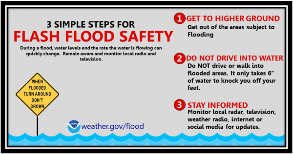
PRECAUTIONARY/PREPAREDNESS ACTIONS…
A Flash Flood Watch Means That developing conditions May Lead To
Flash Flooding Within The Watch area. People…especially those
located along area creeks…rivers or other flash flood prone
areas…should continue to monitor later forecasts and be prepared
to take immediate action should flash flood warnings be issued.