
 Apache & Navajo County
Stage 2 Fire Restrictions FAQ’s
**Note: This information is provided for unincorporated areas throughout the county jurisdictions only**
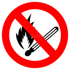
Can I have a campfire?
NO! No fires are permitted!
Only cooking equipment that utilizes Liquid Petroleum (LPG) that can be turned off by switch is permitted. Again, the area around the stove or device must be completely clear for 3 feet in any direction (including overhead) before being used.
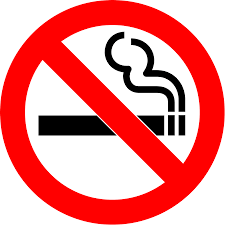
Am I allowed to smoke outdoors?
NO, Any smoking should be conducted inside of a building or inside of a vehicle.
Can I burn the weeds in my yard?
NO. These types of fires are not allowed during any stage of restrictions. You must dispose of your yard waste by other means such as taking it to a transfer station.
What if i have an Open Burn Permit? NO, you are still not allowed to burn. Once restrictions are in effect all burn permits are suspended.
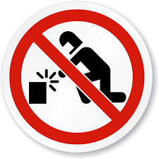 Use of Mechanical and Industrial Equipment:
1. No operating any internal combustion engine that would potentially produce open flames or sparks.
2. No welding or operating acetylene or other torch with open flame
3. No use of explosives
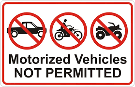
What about recreational vehicles?
No. There is no operating of motorized vehicles off designated roads and/or trails.
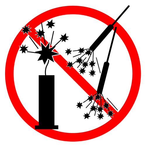
What about target shooting and fireworks?
Fireworks are NOT allowed during any stage of Fire Restrictions. The use of explosive targets and tracer round ammunition are also NOT allowed.
