Nutri 2 Unit Prescribed Fire
Springerville, AZ, May 8, 2023 The Apache-Sitgreaves National Forests plans to continue blackline burning operations on the Alpine Ranger District, beginning May 11 through May 13, 2023. The Nutri 2 Unit Prescribed Fire area covers 500 acres and is located about six miles south of Nutrioso and seven miles northwest of Alpine.
The following prescribed fire will be continued if conditions and approvals allow:
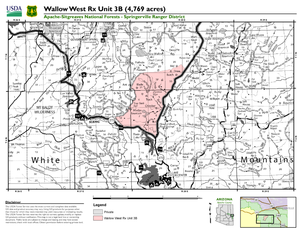
- The Nutri 2 Unit Rx will continue a blacklining operation along and south of Forest Road 581, as well as south along Forest Road 81. (Please see attached map.) The objective is to complete establishment of blackline prior to burning the interior portion of the unit.
- Ignition operations are expected to take up to 3 days.
Blacklining is the process of preburning vegetation adjacent to a control line before igniting a prescribed burn. Blacklining is usually done in heavy fuels adjacent to a control line during periods of low fire danger to reduce heat on holding crews and lessen chances for spotting across control lines. Blacklining will occur along and south of Forest Road 581, as well as south along Forest Road 81. (Please see attached map). When conditions are within the ranges outlined in the burn plan and approvals are obtained, ignitions are expected to take two days.
Our land management strategy is centered on long-term forest health, including reducing forest fuels and using prescribed fire on the landscape. Prescribed fires provide habitat diversity, recycle plant nutrients into the soil, and encourage new growth for various plants used by wildlife and livestock. They also reduce forest surface fuels which lessen the threat of large-scale wildfire impacts on private lands and communities.
Smoke will be a consideration in the vicinity of the prescribed fires depending on the weather and use caution when traveling in the area. Smoke will be visible in the communities of Alpine, Nutrioso and Springerville, as well as Hwy 180, 191 and 60. Information on air quality and active prescribed fires can be found on Arizona Department of Environmental Quality’s webpage: https://azdeq.gov/.