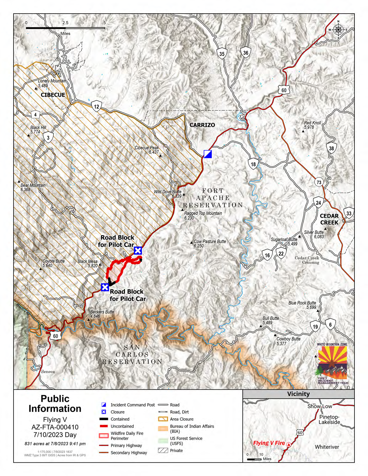
Campbell Fire Update: July 12, 2023

Acres: 392 | Containment: 0% | Total personnel: 77
Start Date: July 10th, 2023 | Cause: Lightning/Natural | Location: 6 miles SW of Alpine, AZ Fuels: Heavy dead and down from the Wallow Fire of 2011

Highlights: The fire is spreading downhill in heavy dead and down trees with grass understory. Fire activity decreased yesterday because of precipitation. A Type 3 Incident commander has been ordered and is expected to be on the scene today.
Operations: Contain/confine strategies continue today. Monitoring, confinement work from existing forest service roads and containment operations will continue as weather and fire conditions allow, while simultaneously considering firefighter safety first. Minimal movement in all directions is expected.

Evacuations: No evacuations currently.
Weather: Thunderstorm activity is expected to continue in the general area, accompanied by potential lightning activity.

Restrictions: The Apache-Sitgreaves National Forests are in Stage I Fire and Smoking Restrictions, learn more at: https://www.fs.usda.gov/alerts/asnf/alerts-notices/…
Information related to fire restrictions across public and private land can be found at: https://ein.az.gov

Forest roads in the area may be restricted or closed depending on the operational needs of firefighters.

Smoke: An interactive smoke map at fire.airnow.gov/ allows you to zoom into your area to see the latest smoke conditions. Smoke may be visible from Hwy 191, especially at night.

Online: https://inciweb.nwcg.gov
https://www.fs.usda.gov/asnf
facebook.com/apachesitgreavesnfs
Twitter @A_SNFs

pio_8X11_port_20230711_2101_Campbell_AZASF000447_0712day

Flying V Fire – Monday, July 10, 2023

Location of Origin: Highway 60 at mm 300
Start Date: July 5, 2023
Size: 831 acres
Cause: Undetermined
Percent Contained: 17
Personnel: 248
Fuels: Pinyon-Juniper, Grass
Resources Assigned: 8 crews, 5 engines, 2 water tenders, 2 helicopters, 2 Dozers

Operations: Fire activity is minimal, with only a few areas that remain active. Due to the hard work of firefighting resources, the perimeter has not changed in recent days and suppression lines are expected to hold today with no expected increase in size.

Closures:
• The Incident Management Team and ADOT have formalized a conditional reopening plan for highway 60. The closure that has been in effect on highway 60 has been modified to allow for traffic easement between 9:00 pm – 6:00 am with reduced speeds. Traffic will be escorted via pilot car tomorrow from 6:00 am – 9:00 pm and will be reduced to one lane. The public is advised to allow for traffic delays during this time. This conditional reopening plan may be rescinded if fire activity increases in the area.

• The White Mountain Apache Tribe issued an executive order on July 7, 2023. There are no campfires allowed at the lakes, streams, or even in the community, and no yard burning. Wood cutting must be done before 10:00 a.m., and there is no wood cutting in the closure area.

Weather: Today’s forecast is calling for mostly sunny skies with a high of 97 degrees and winds from 5 to 10 mph.

Values at risk: Emory Oak grove in the area of Flying V, tribal sensitive species in surrounding areas, cattle and grazing areas, watershed and riparian areas, woodland areas, the Salt River recreation areas, the Highway 60 transportation corridor, communications towers on Brewer Hill, Cibecue Ridge, and north of Salt River Canyon.

Safety: Wildfire smoke may impact Cibecue,White River, Carrizo, Cedar Creek, and the White Mountain communities. The public is encouraged to take precautionary measures.

Official fire information can be found on these sites:

• Inciweb: https://inciweb.wildfire.gov/incident-information/azwat-flying-v-fire
• Facebook: https://www.facebook.com/BIAFAAFireMgt
• ADEQ Air QualityInformation: https://azdeq.gov/node/7077
• ADOT: https://www.az511.com/
• Executive Order: Stage 2 Fire Restrictions and Forest Closures

Flying V Fire Update 7/9/23

Flying V Fire 

Sunday, July 9, 2023 

Location of Origin: Highway 60 at mm 300 

Start Date: July 5, 2023          

Size: 831 acres 

Cause: Undetermined            

Percent Contained:

Personnel: 259                      

Fuels: Pinyon-Juniper, Grass

Resources Assigned: 8 crews, 5 engines, 1 water tender, 3 helicopters, 2 Dozers 

Operations: Fire activityhas mostly decreased, however, smoldering fuels adjacent to suppression lines have produced small spots. Aerial resources have been crucial in quickly responding to and cooling these spot fires. An area along highway 60 that was consumed in the initial phase of the fire marks the 5 percent containment.  

Closure: The Incident Management Team met with ADOT officials this morning to start working on potential options for reopening highway 60 while prioritizing the safety of firefighters and the public. As soon as the official traffic plan has been confirmed, the public will be notified in a special communications update. The White Mountain Apache Tribe issued an executive order on July 7, 2023. There are no campfires allowed at the lakes, streams, or even in the community, and no yard burning. Wood cutting must be done before 10:00 a.m., and there is no wood cutting in the closure area.  

Weather: Today’s forecast is calling for clear skies with a high of 96 degrees and winds from 10 to 15 mph. 

Values at risk: Emory Oak grove in the area of Flying V, tribal sensitive species in surrounding areas, cattle and grazing areas, watershed and riparian areas, woodland areas, the Salt River recreation areas, the Highway 60 transportation corridor, communications towers on Brewer Hill, Cibecue Ridge, and north of Salt River Canyon. 

Safety: Wildfiresmoke may impact Cibecue, White River, Carrizo, Cedar Creek, and the White Mountain communities. The public is encouraged to take precautionary measures. 

Official fire information can be found on these sites: