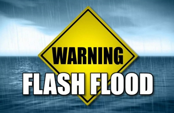
Flash Flood Warning for Navajo and Coconino County

* Until 945 PM MST

* At 710 PM MST, Automated gauges indicated increased flow in area creeks and rivers. Flash flooding is expected.

* Some locations that will experience flooding include…
Winslow, Chevelon Butte and Homolovi State Park Campground.

This includes the following streams and drainages…Clear Creek…
Sand Draw…Black Canyon…Chevelon Canyon…Little Colorado River…
Potato Wash…Cottonwood Wash…Jacks Canyon and Coyote Wash.

This includes the following highways…
Business Interstate 40 between mile markers 256 and 257.
Interstate 40 between mile markers 256 and 261.
State Route 87 between mile markers 323 and 340, and between mile
markers 346 and 347.
State Route 99 between mile markers 23 and 41.

PRECAUTIONARY/PREPAREDNESS ACTIONS…

Move to higher ground now. Act quickly to protect your life.

Stay away or be swept away. River banks and culverts can become unstable and unsafe

Lakeside Ranger District on the Apache-Sitgreaves National Forests Plan Prescribed Burn North of Show Low

The Lakeside Ranger District plans to burn The Show Low polishing ponds, weather permitting. The prescribed burn is in cooperation with the Arizona Game and Fish and the City of Show Low and will be approximately 15 acres with minimal smoke impact. Smoke may be visible from Arizona State Highway 77, U.S. Highway 60, Show Low and Linden.
The prescribed burn location: Marsh burn, located three miles north of Show Low on the west side of Arizona State Highway 77, near Telephone Lake (T10N, R22E, and Section 5).

The prescribed burn will reduce dead fuels, stimulate new growth of wetland vegetation, and improve wildlife habitat and maintenance of the wetland and riparian ecosystems near Pintail Lake.

All prescribed burns are approved through the Arizona Department of Environmental Quality (ADEQ) before ignitions begin. The ADEQ monitors air quality and determines whether or not it will be a good day for smoke dispersion. Breaking larger burn areas into smaller acreages often limits the amount of smoke that impacts an area. Although smoke from prescribed fire can still be a nuisance, it is usually for a shorter time and considerably less smoke than wildfires produce. If you are sensitive to smoke or have respiratory problems, stay indoors if possible.
Crews will be on scene from the beginning of ignitions until there is no longer a threat of escape from the project boundaries.

Questions or concerns, please contact the Lakeside Ranger District (928-368-2100), the Northeastern Arizona Public Information System (311 or (928-333-3412) or the Supervisor’s Office (928-333-6280).

You may follow us on Facebook (Apache-Sitgreaves National Forest Facebook at facebook.com/apachesitgreavesnfs or checkout our webpage: www.fs.usda.gov/asnf.

Prescribed Burn Planned on Black Mesa Ranger District of the Apache-Sitgreaves National Forests: Slash Piles within Fulton Timber Sale

Springerville, AZ – December 3, 2018 – The Black Mesa Ranger District on the Apache-Sitgreaves National Forests plans to conduct a prescribed burn within the Fulton Timber Sale area to the south of Highway 260, West of Forest Road 512, and North of Forest Road 912E. The burn area is located within Township 11N, Range 14 East, and Sections 32 and 33, and Township 10.5N, Range 14E, Sections 23 and 24.

Half of this project area (663 acres) was completed in October of this year. About 500 acres still remain and the district plans to burn on December 4, 2018. The intent is to burn remaining slash piles created from logging operations. Ignition depends on the weather.

Smoke will be seen from Highways 260, the Young Highway (Forest Road 512), and from the community of Forest Lakes. Smoke may also be visible from the Colcord and Ponderosa Estates area below the Mogollon Rim. There may be light to moderate impacts within the area throughout the remainder of the week and should decrease significantly each evening after the primary ignition occurs.

Once ignition occurs, crews will be on scene from ignition until there is no longer a threat of escape from the project boundaries.