Apache-Sitgreaves National Forests
Black Mesa Ranger District
P.O. Box 968
Overgaard, AZ. 85922 Media Contact: Doreen Ethelbah Gatewood 928-535-7300 Doreen.ethelbah-gatewood@usda.gov www.fs.usda.gov/asnf 928-333-6263
Start Date: September 5, 2019
Size: 5 acres
Cause: Lightning
Location: 5 miles south of Heber/Overgaard, Arizona
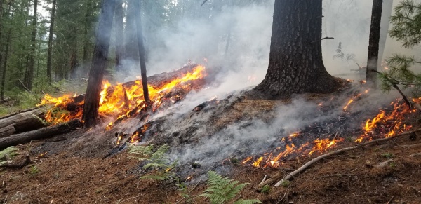
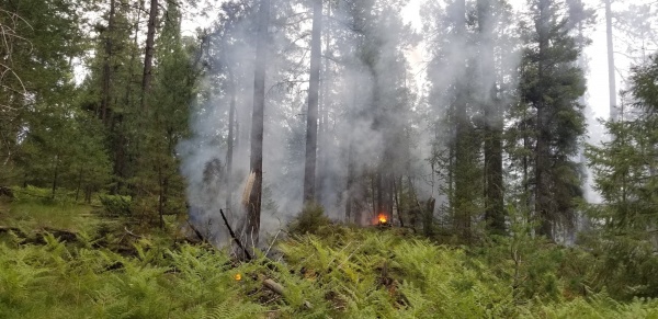
The Apache-Sitgreaves National Forests is managing the lightning-caused Rocky Fire on the Black Mesa Ranger District within a 3,700 acre focus area, reducing dense forest fuels and improving overall ecosystem health. The fire is burning in the rugged terrain of Rocky Draw within the 2002 RodeoChedeski fire scar. The projected fire boundary will be FSR 300 on the south, FSR487 on the west, FSR166 on the north and FSR51 on the east. There are no threats near the fire.
Firing operations could begin with the next 24 to 48 hours and will continue through the weekend weather permitting. As the Rocky fire continues to grow, smoke is likely to become more visible over the coming days within the community of Heber/Overgaard, Clay Springs, Pinedale and along Highway 260. Motorists are advised to drive with caution within the fire area.
###