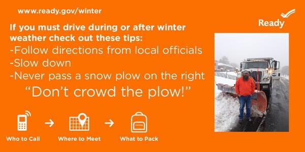
12/30/14 – With a storm predicted to impact many areas throughout Northeastern Arizona we have compiled some information for you regarding snow removal operations. Many areas operate under very similar plans with some variances. If you have further questions about the snow removal plan make sure to contact your jurisdiction for more information.
POLICY:
1. Apache County Roads Department road maintenance crews will begin snow removal operations and/or cindering when four (4) inches or more has accumulated on the local roadways.
2. Priority for snow removal and/or cindering is:
a. Major County Maintained arterial roads and school bus routes.
b. Minor collector roads.
c. Residential Roads designated and maintained by the county.
d. Primitive Roads designated and maintained by the county.
3. Priorities a thru c will be completed so that all roadways will be cleared with an initial pass, and open prior to beginning on Priority d.
4. In emergency situations the Sheriff’s Office may contact the Road Yard Supervisor so they can coordinate movement of emergency vehicles (ambulance, fire trucks, etc.)
5. It is the purpose of the initial pass to open roadways so as to permit responsible traffic flow. It is impossible to plow without leaving a windrow (which may affect) driveway entrances. The County does not have the equipment or manpower to address these windrows in the initial phases of snow removal. Hence the removal of the windrows will be addressed during the clean-up phase of the operation (generally within 24-48 hours after the storm has passed) on County Maintained roads only.
6. Driveway snow clearing is the responsibility of the resident. *
7. Illegal head walls that have been constructed on pipe culverts without a county Right-of-Way use permit are the responsibility of the resident.
8. Exceptions to this policy may be made by the Board of Supervisors or the Public Works director in situations where Public Health Safety and Welfare will be more readily assured by such an exception.
9. Roads that are not on the Board of Supervisor approved list of Roads eligible for maintenance will not be plowed. In the event the winter storm is declared a county emergency off system roads will only be cleared in conjunction with requests by the Sheriff’s Office.
10. In the event a road is closed to substantial snow accumulations the foreman will notify the County Engineer and other affected parties such as the Sheriff’s Office, U. S. Forest Service, Fire Departments etc. Furthermore a log of the closure will be kept in the responsible Road Yard. The Log will contain all measures taken to ensure the road was cleared of any persons before the closure, and the means used to effect the closure.