
Type 2 Incident Management Team taking command of Wyrick and West Chev Fires
Acres: Wyrick: 7,100 acres
West Chev: 288 acres
Cause of Both Fires: Lightning
Containment: 0%
Start Date: Saturday, June 19, 2021
Location: Wyrick: 1 mi north of Heber, AZ
West Chev: 13 miles northwest of Heber, AZ
Fuels: Timber and grass
Announcement: The Wyrick and West Chev fires are burning on the Apache-Sitgreaves National Forests. Firefighters are working in cooperation with local county officials to keep residents and visitors safe. There is a list of links below which will help you find additional information.
Overview: The Southwest Incident Management Team 5, led by Incident Commander Mark Bernal, took command of the Wyrick and West Chev fires at 6am on Tuesday, June 22, 2021. The Wyrick Fire continues to burn approximately 1 mile north of Heber, and the West Chev Fire is burning 13 miles northwest of Heber. The acreage listed is from the Infra flight last night.
Fire Update: Extreme fire behavior with long range spotting and group tree torching was observed on the fires Monday, allowing both the Wyrick and West Chev fires to grow rapidly. Air tankers have been flying on the fire, and helicopters are dropping water buckets to assist in firefighting efforts. Additional firefighters and equipment are being ordered to help slow the spread of both fires, and to build line to contain these fires. As a safety precaution the Woods Canyon Lake Recreation area was cleared on Monday and will remain closed for public safety. Additional emergency closures are in progress.
Weather: Hot, dry, and breezy conditions will continue today, challenging firefighters. There is a potential for showers and thunderstorms to develop over the area on Tuesday afternoon and Wednesday.
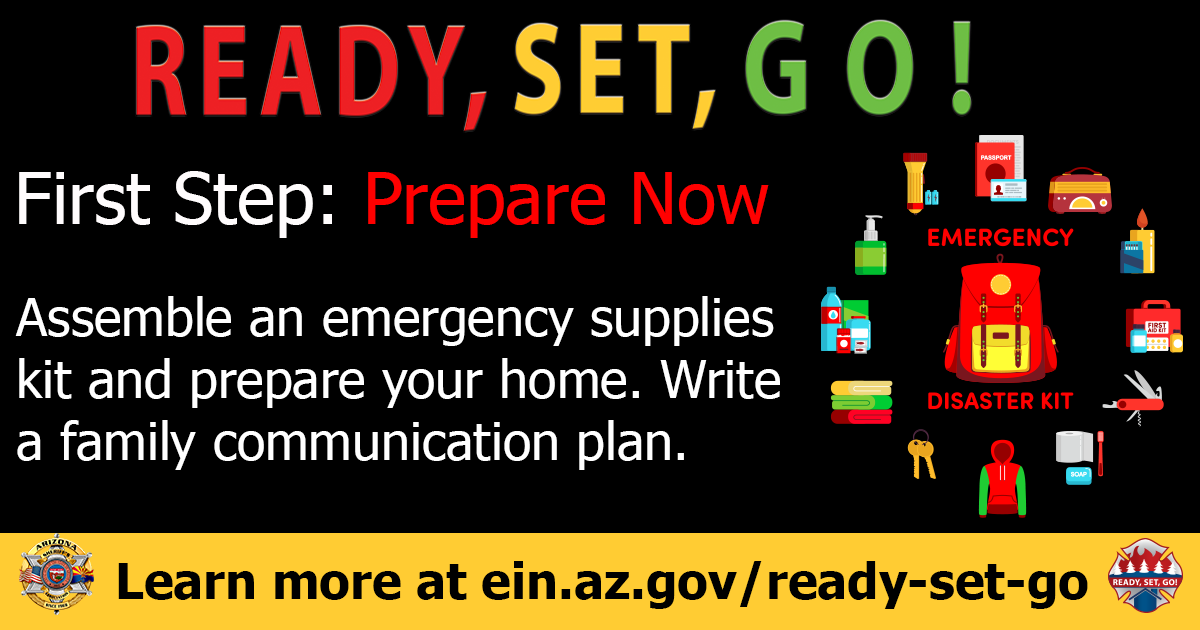
Ready, Set, Go: Visit Navajo County Emergency Management for additional information about the Ready, Set, Go program and how to sign up for alerts.
Areas in GO:
· Antelope Valley
· Despain Ranch
· Heber-and Overgaard north of Highway 260 and 277
Areas in SET:
· Chevelon Ranches and Retreat
· Communities in Overgaard south of Highway 277 and North of Highway 260
· Areas in Heber not identified as Ready or Go status
Areas in READY:
· Overgaard south of Highway 260
· High Country Pines in Heber
· Kendall Ranch / Camp Ponderosa
Highway Closures: The Wyrick and West Chev fires have closed State Route 260 from Star Valley to Clay Spring. State Route 377 from Heber to Holbrook, and State Route 277 from 377 to Heber is also closed. This is a very fluid situation and closures keep shifting. There is no estimated time for reopening. Motorists are advised to delay travel or to seek alternate routes.
Smoke: Smoke is visible and may settle into low lying areas overnight. The Daily Air Quality Index can be found by visiting Arizona Department of Environmental Quality at https://azdeq.gov/node/5914; or by downloading the Air Arizona mobile app on your smartphone. (https://azdeq.gov/airaz)
Values: Firefighter and public safety are the highest priorities on these fires. The fire areas include power lines and radio towers, private property, and natural resources.
More Information:
Inciweb:
· West Chev: West Chev Information – InciWeb the Incident Information System (nwcg.gov)
· Wyrick: Wyrick Fire Information – InciWeb the Incident Information System (nwcg.gov)
Smoke: Wildfire Smoke Forecast | ADEQ Arizona Department of Environmental Quality (azdeq.gov)
Highway Closures: https://az511.gov/
Navajo County Emergency Management: https://www.navajocountyaz.gov/…/Ready-Navajo-County…
Navajo County Emergency Management Facebook: https://www.facebook.com/NavajoCountyEM/
Navajo County Sheriff’s Office: https://www.facebook.com/NCSO.AZ/posts/4060988313951038
 WHITE MOUNTAIN ZONE