U.S. Forest Service
Apache-Sitgreaves National Forests
30 S Chiricahua Drive
Springerville, AZ 85938
Web: www.fs.usda.gov/asnf
Twitter: @A_SNFs
www.facebook.com/apachesitgreavesnf
News Release
Media Contact: Teresa Gallagher
928-333-6263
teresaagallagher@fs.fed.us
Temporary closure of Black Mesa District road due to weather
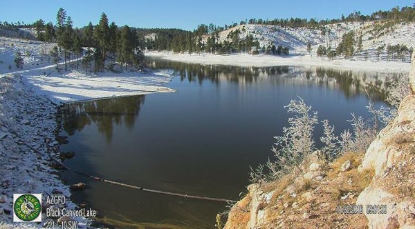
Heber-Overgaard, AZ, November 29, 2016; The Apache-Sitgreaves National Forests, Black Mesa Ranger District announced today the closure of Forest Road 105 leading to Woods Canyon Lake due to snow and very slippery conditions. The road is closed just past Aspen Campground. The public can still access the lake via the walking trail. The road will re-open when weather conditions improve.
Please call the Black Mesa Ranger District at 928-535-7300 for up-to-date information on this closure.
For more information about the Apache-Sitgreaves National Forests go to www.fs.usda.gov/asnf. Follow us on Facebook at www.facebook.com/apachesitgreavesnfs and Twitter at @A_SNFs.