4/26/16 4:24 pm
Winds are pushing residual smoke from the 1,250 acre prescribed burn on the Coconino National Forest outside of Flagstaff into the Snowflake, Taylor, Show Low, Overgaard and surrounding communities. Persons with respiratory conditions should keep windows and doors closed.
Information from the Coconino National Forest Website – Upper Beaver Creek Project (Buck Mountain areas)
When: Planned ignition are Monday through Thursday (April 24 to 27). Ignitions typically begin between 9-10 a.m. and duration of this project will be approximately four days.
Where: Approximately 19 miles directly east of Montezuma’s Castle National Monument and ranging north and south approximately three miles west of Buck Mountain Lookout.
Size: 3,500 acres in total, broken into manageable blocks each day.
Closures/Restrictions: None.
Smoke Impacts: Smoke is predicted to move toward the east/northeast and may impact Mormon Lake communities to the north, and the Discovery Channel Telescope to the east. Smoke may be seen from Lake Mary Road and I-17. Cooling temperatures in the evenings may cause smoke to settle and drain down nearby canyons, West Clear Creek, the Verde Valley and potentially impacting the Village of Oak Creek.

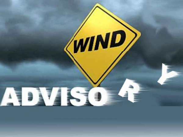 4/27/17 7:30 am – The National Weather Service has issued a Wind Advisory for northeast Arizona for today. Strong and gusty southwest winds will develop today and continue through early this evening from the White Mountains and Little Colorado River valley to the Chuska Mountains. A Wind Advisory is in effect from 10:00 am to 7:00 pm.